Behind the Red Paint: A Local Insider’s Look at Lunenburg’s Maritime Grit

Nearly seventy percent of the original British Model Town plan established in 1753 remains perfectly intact today in Lunenburg. While most visitors see a postcard-perfect collection of brightly colored houses, those of us who live here see a complex grid of history, strict heritage bylaws, and a harbor that never really sleeps. This look at our town covers the intersection of modern life and preserved history, explaining why this specific patch of Nova Scotia coast continues to hold international significance while managing the weight of its own legacy.
Why is Lunenburg a UNESCO World Heritage site?
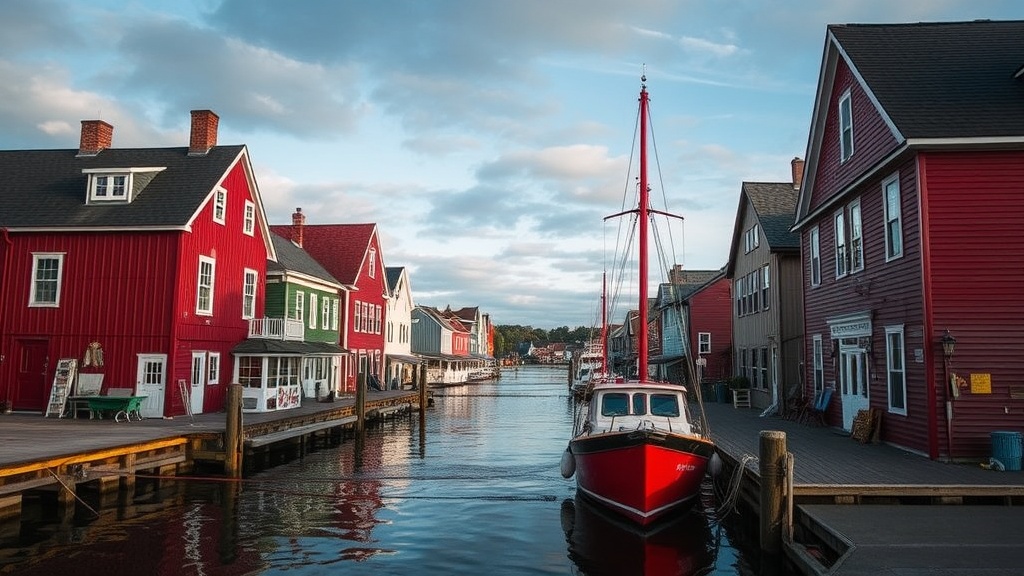
The designation isn't just about pretty buildings or the fact that we have a lot of red paint. In 1995, UNESCO recognized Lunenburg as the best surviving example of a planned British colonial settlement in North America. Unlike many other towns that grew organically (and often chaotically), Lunenburg was laid out in London by people who had never seen the steep, rocky terrain. They drew a rigid grid of rectangular blocks and straight streets on a map and told the settlers to make it work. The result is a town where some streets are so steep they feel like they’re trying to pitch you directly into the Atlantic—because the planners didn't care about topography.
Walking these streets today, you’re seeing the actual 18th-century layout. The town has managed to keep its character because the wooden architecture has been maintained with a level of obsession that borders on the religious. We don't just 'fix' a window here; we consult heritage guidelines to ensure the muttons and glazes match the original era. It’s a lot of work (and quite expensive), but it’s why the